
Of low difficulty and limited difference in height, the winter excursion in Val Viola is ideal for enjoying a pleasant day away from the noise and frenzy of normal life.
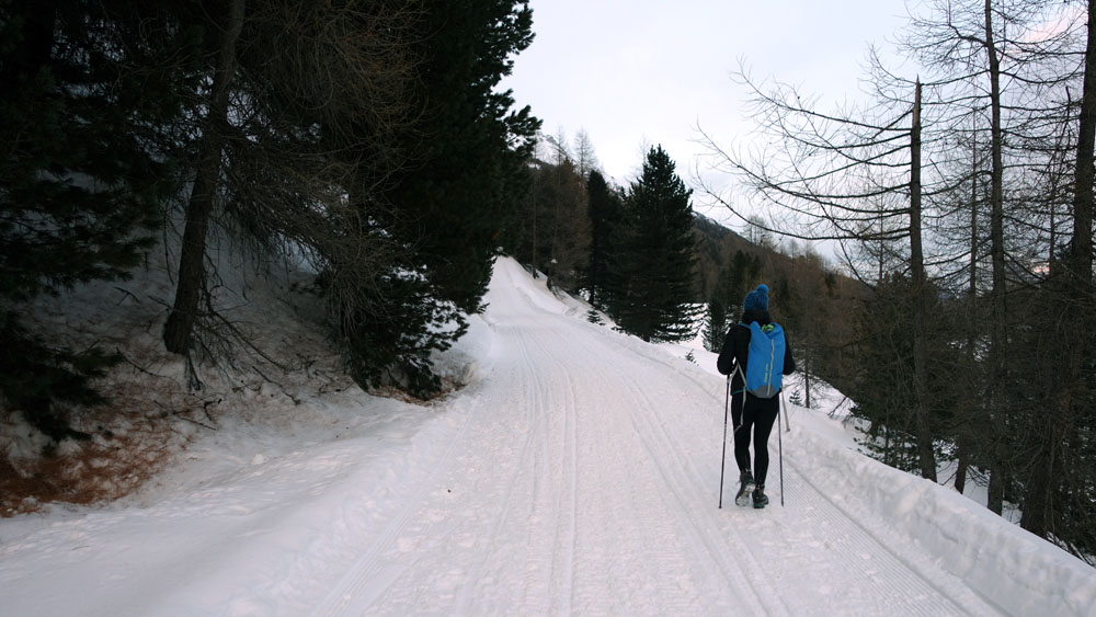
The route described here almost always has a track beaten by a snowmobile or snowcat.
Winter hiking and snowshoeing to “Val Viola – Caricc ”
Total length of excursion: 11550 meters
Total uphill difference in height: 268 meters
Approximate total time needed for the excursion: 4 hours
Difficulty: winter hiking – snowshoeing (easy 3 out of 10)
Excursion suitable also during snowfall: yes ( avoid the “high re-entry” in case of high avalanche danger)
Suitable for rainy days? no
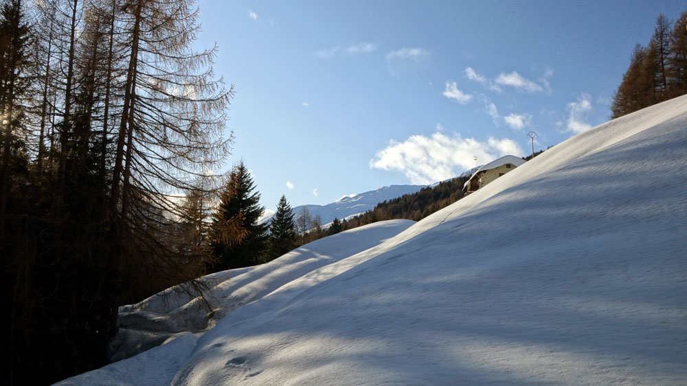
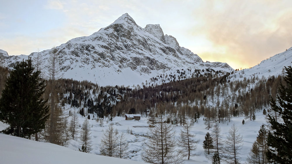
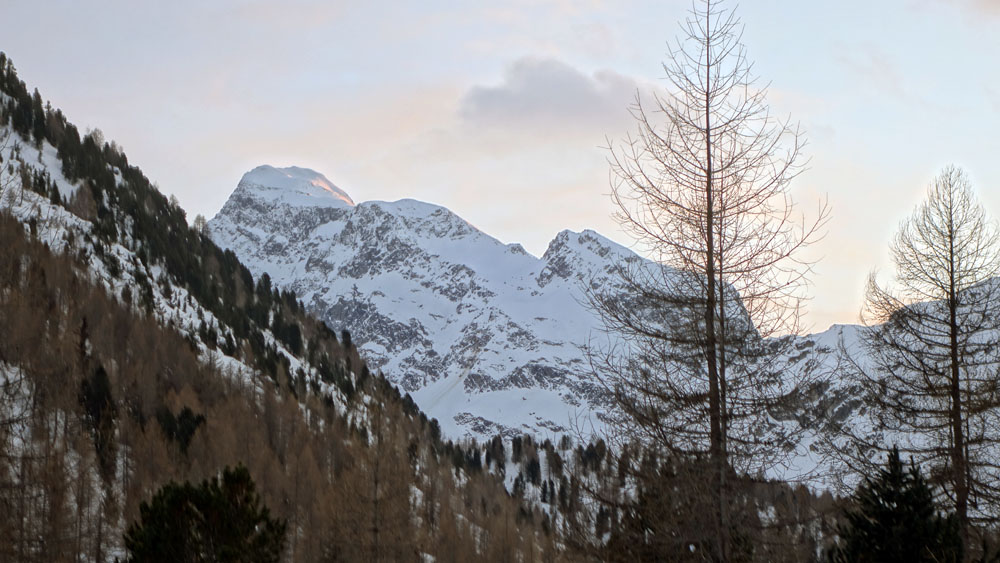
General characteristics of the natural environment: highly satisfying panoramic itinerary in a pleasant isolated valley
Trip on the borders of the Stelvio National Park: no
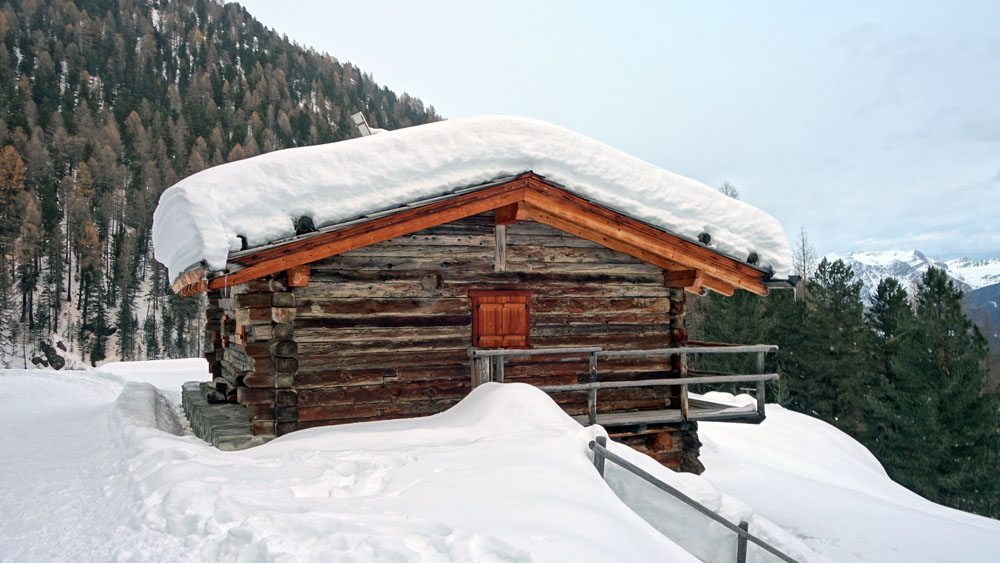
Alpine shelters, bars or restaurants along the route: yes (agriturismo Caric)
Circular route: yes
Back and forth route: no
Pushchair accessible: no
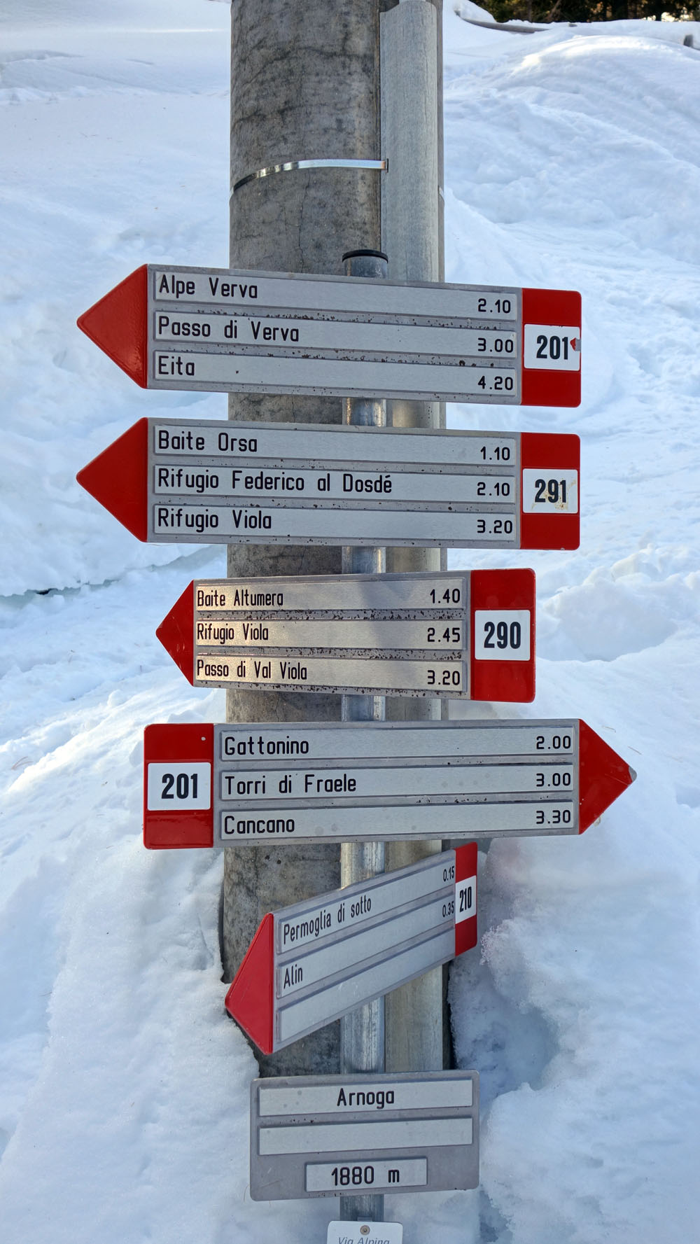
Excursion starting point: Arnoga
Geographic coordinates of the starting point: 46°27’29.71” N – 10°14’26.35” E —- UTM: 32T 595270 – 5145712
Altitude of the starting point: 1885 meters asl Maximum height reached on the excursion: 2060 meters asl
Introduction
Of low difficulty and limited difference in height, the winter excursion in Val Viola is ideal for enjoying a pleasant day away from the noise and frenzy of normal life.
The route described here almost always has a track beaten by a snowmobile or snowcat.
Description of the excursion
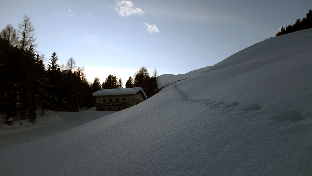
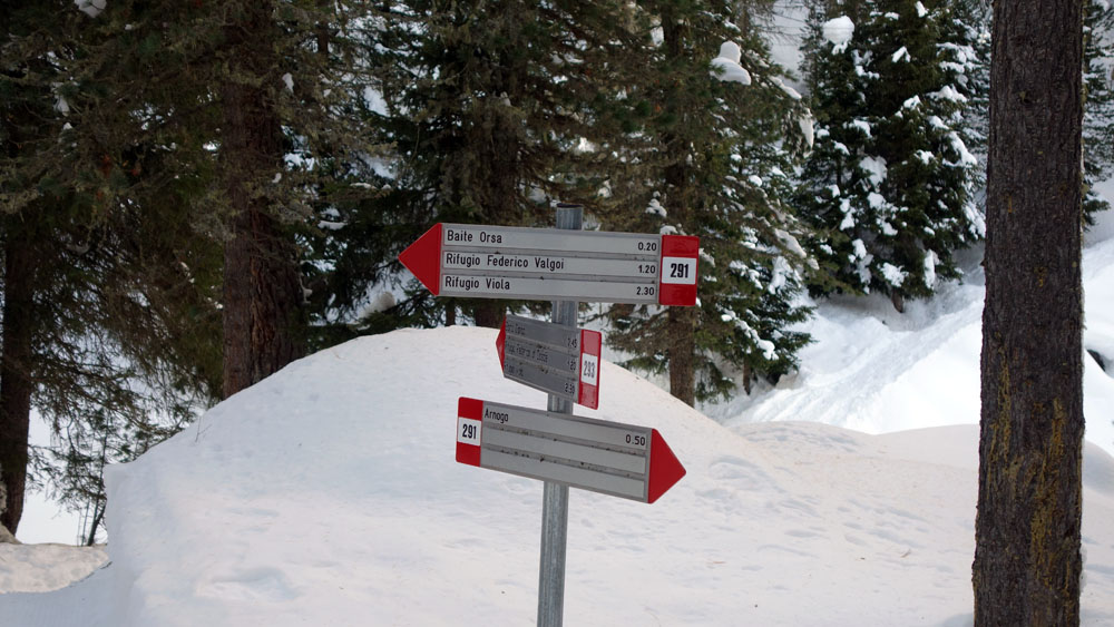
From the Arnoga car park, follow the signs for route 291 in the direction of “Baite Orsa”. The track, alternating between wooded stretches and small prairies, takes you on flat ground until it crosses the road that leads to Val Verva.
When you reach the road, turn right and follow it uphill for about one hundred and fifty meters. At the next clearing \ intersection, keep left and you will soon reach a new intersection.
Leave route 291 and continue on route 293 towards “Baita Caricci”.
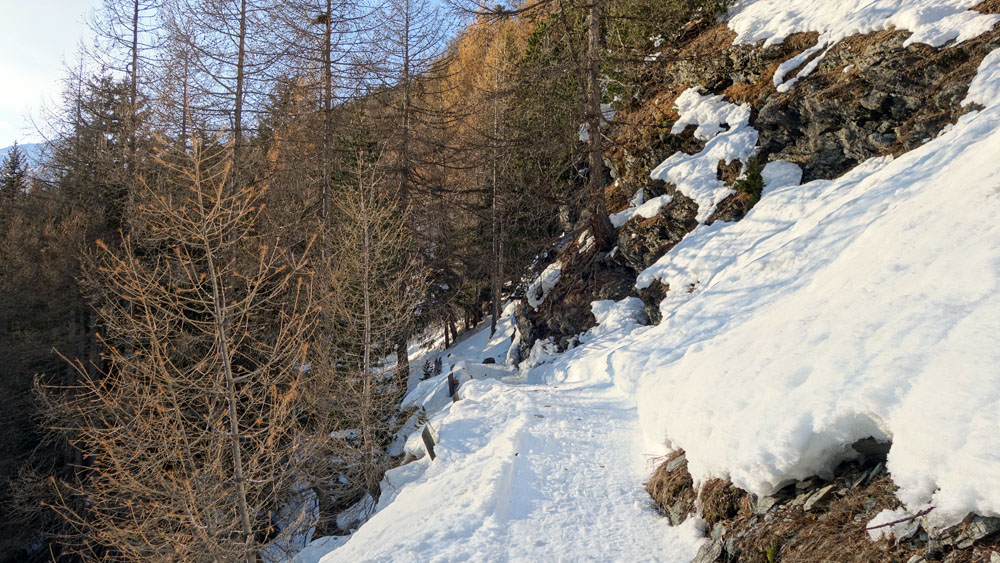
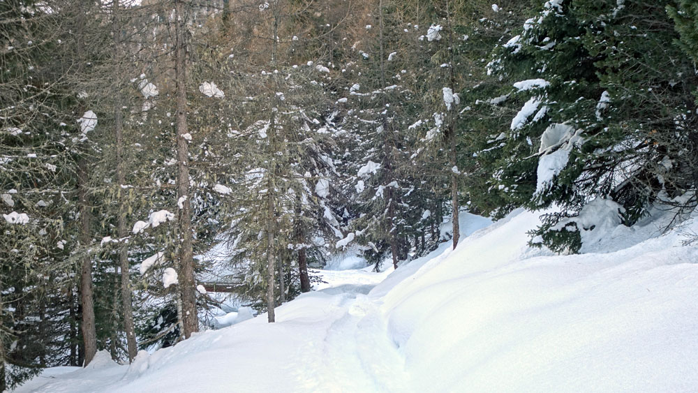
The new path leads to a hollow followed by a short steep slope. At the end of the steep section, turn left and continue west towards Corno di Dosdè.
Uphill slightly, the route continues through the dense forest of fir and larch for a few hundred meters until it reaches another grassy area near an A2A water dam.
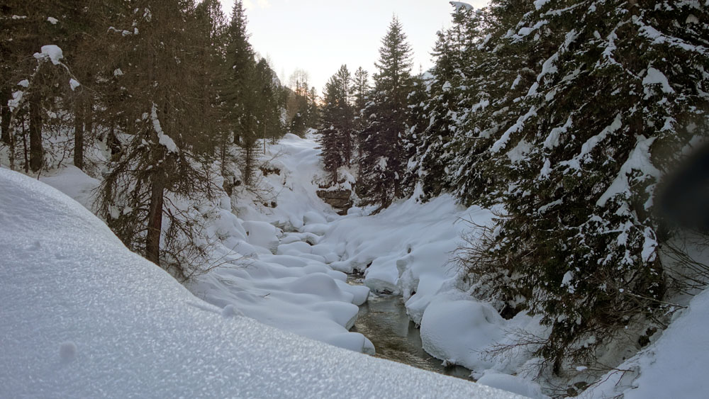
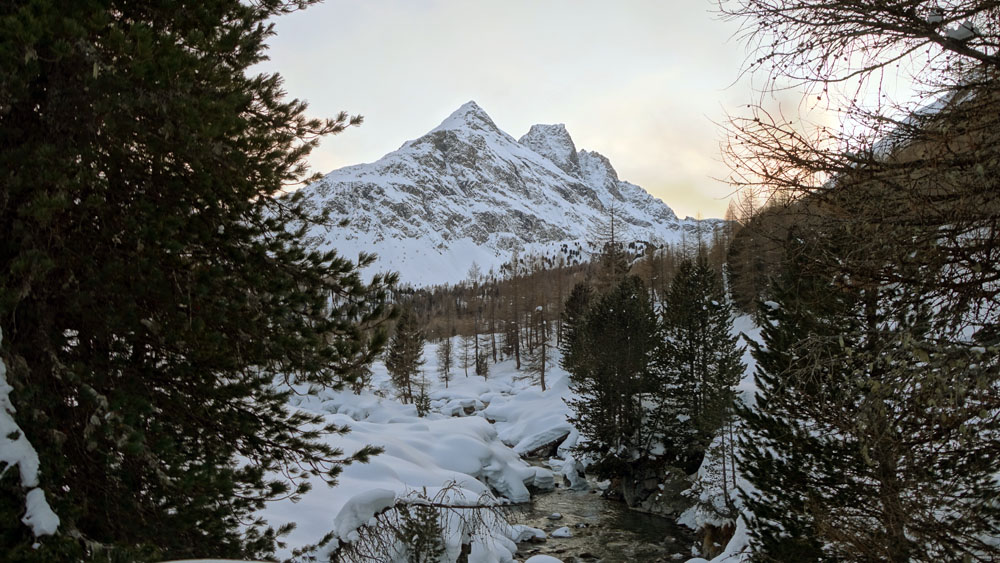
Cross the luminous plain and always in the direction of the imposing Corno di Dosdè, head towards the heart of Val Viola.
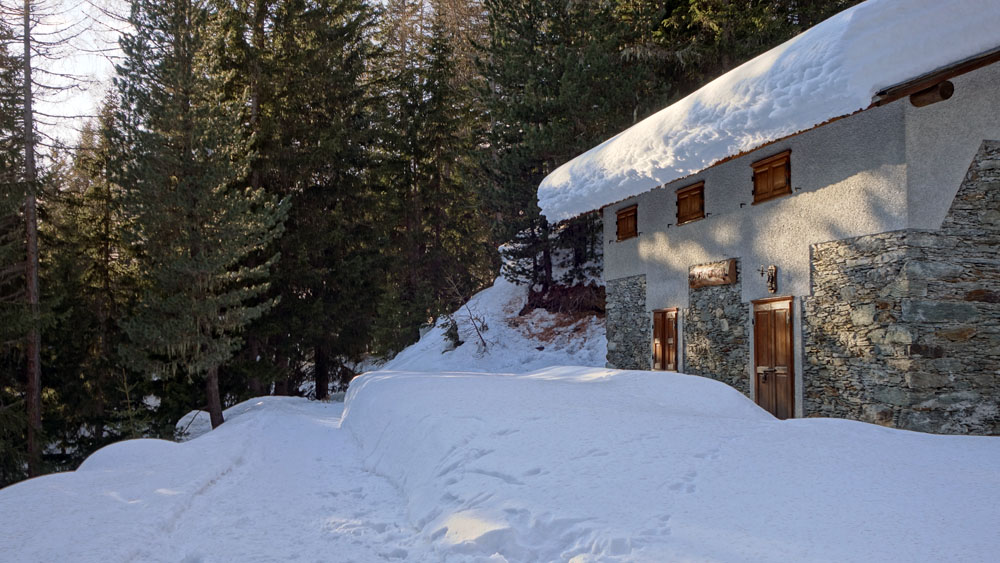
Once you have reached the bridge over the Viola river, cross it and over a large grassy area, continue westwards towards the bottom of the valley until you reach a small bridge behind the Agriturismo Caricc. Cross the small bridge and soon you will reach the agriturismo where a pleasant regenerating stop is a must. (check opening times and availability before the excursion)
Once back on the road, we leave the shelter behind and head east until we reach the bridge over the Viola river that we crossed on the outward journey. A few dozen of meters further on, turn left and go uphill on the “high path” number 293 towards Arnoga.
In this section, the route follows a not particularly demanding climb, a few hundred meters long. When you reach the Altumeira summer car park, turn right and follow the entire Val Viola road for about four kilometers, and without any particular difficulty you will return to the starting point alternating between flat stretches with short ups and downs.
Enjoy your excursion!
Stefano and all the staff of Albergo Adele
NOTES
The route described here takes place entirely on snow-covered ground and the roads mentioned here refer to the normal summer tracks. In winter, these roads are completely covered with snow and must therefore be recognized by the size and shape of the terrain rather than by their usual characteristics. Winter hiking requires a greater spirit of observation and attention than classic summer hiking.
The use of trekking poles can help balance.
It should be remembered that among the various risks associated with winter hiking, including snowshoes, there is the danger of avalanches. Before proceeding with the excursion, it is good practice to check the Snow and Avalanche Bulletin of Arpa Lombardia. The use (and knowledge) of self-rescue equipment (ARVA + SHOVEL + PROBE) is also mandatory.
In this regard, it should be noted that the Lombardy regional law no. 26 of article 14 paragraph 3 provides that users of snow-covered surfaces other than equipped ski areas and, in particular, off-piste skiers, ski mountaineers and hikers must comply, as applicable, with the rules of conduct referred to in paragraph 2 and equip themselves with the appropriate self-rescue systems if there are dangers of avalanches, verifying the climatic conditions also by consulting the Snow and Avalanche Bulletin of ARPA Lombardia to allow rescue interventions.


COPYRIGHT AND LEGAL POLICIES – UPDATED Mar. 9th 2021
All contents of this blog (text, graphic elements, images, pictures, videos, etc.) are exclusive property of Stefano Bedognè and Albergo Adele s.a.s. and they are protected by Italian and International copyright laws. Therefore only viewing is allowed. Copying, either partial or total, will be allowed only after explicit request and authorization. In this case it must be indicated on the copy the source: www.albergoadele.it. Any other use (distribution or publication for profit, modification, processing in any way or form, etc.) will be considered unauthorized and will be prosecuted by law.
The information provided on this page, on our website and on the blog in general, are finalized to promote the touristic and cultural opportunities of Bormio and Valtellina but they are not substitutions in any way for professional accompaniment or the direct consultation of professional workers.
All of the excursions described on this website are for the purposes of promoting Bormio and Alta Valtellina. Every hiker has to consider independently their physical condition, personal experience and ability. The hiker has to check independently the trail complexity based on personal conditions, trail conditions and weather conditions, including the presence of ice, snow, landslides, avalanches or other events. Albergo Adele and Stefano Bedognè don’t assume any responsibility for any accident occuring to the trekkers during the trip here described. Albergo Adele and Stefano Bedognè always suggest being accompanied by a Mountain Guide.
