
The panoramic environment, the easy trail, the absence of difficulties and difference in heights, do of this route one of the excursions more adapt for the families, also with pushchair.
Hiking of the Decauville from the Towers of Fraele
Total length of excursion: 20.940 meters
Total uphill difference in height: 246 meters
Approximate total time needed for the excursion: 6 hours and 30 minutes
Difficulty: very easy (2 out of 10)
Recommended season: from the middle of April to the middle of November (check the altitude of snow before your trip)
Suitable for rainy days? Yes (advised against in case of storm or weather alert)
General characteristics of the natural environment: easy panoramic trail
Presence of water\fountains on the excursion: yes
Trip on the borders of the Stelvio National Park: yes in part
Benches on the route: no
Picnic areas on the route: no
Alpine shelters, bars or restaurants along the route: no
Circular route: no
Back and forth route: yes
Pushchair accessible: yes
Excursion starting point: Towers of Fraele – Cancano – Valdidentro
Geographic coordinates of the starting point: 46°30’09.80” N – 10°18’39.35” E —- UTM: 32T 600585 – 5150741
Altitude of the starting point: 1935 meters asl Maximum height reached on the excursion: 1935 meters asl
Description of the excursion
The panoramic environment, the easy trail, the absence of difficulties and difference in heights, do of this route one of the excursions more adapt for the families, also with pushchair.
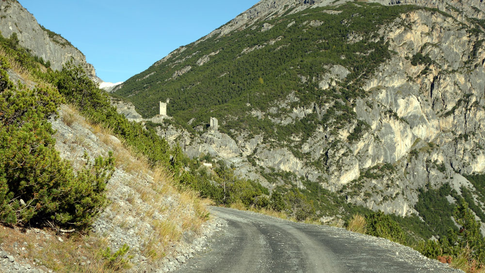
This excursion starts from the car park near the Towers of Fraele, in the Cancano lakes area.
From the car park you have to go back in the direction of the road tunnels and you have to follow the asphalt road for about one kilometer until to reach the fork with the stone road of “Decauville” (check the note).
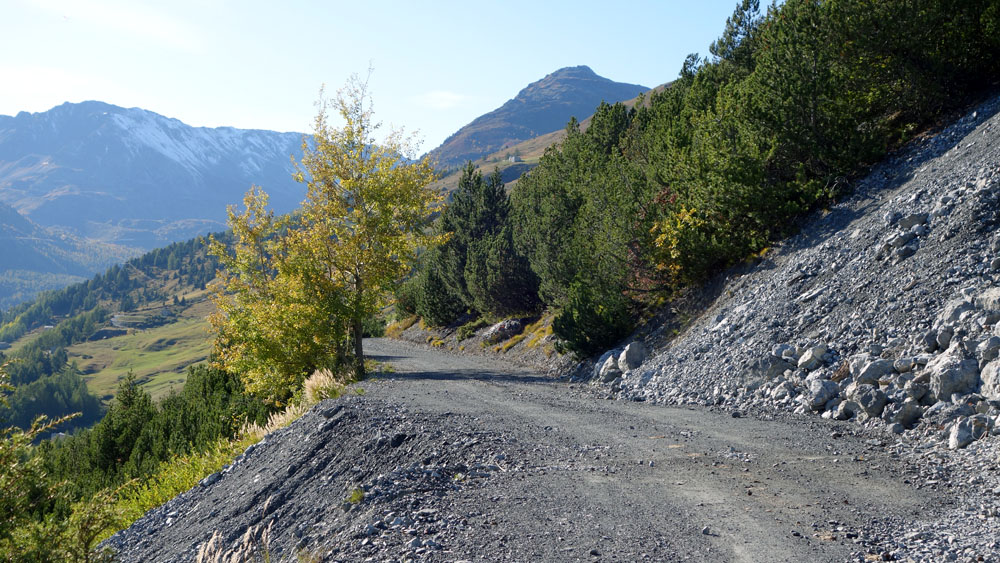
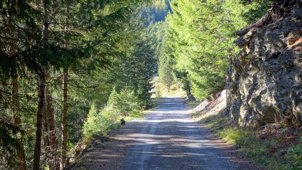
From the fork you turn right and take the route 195 along the stone road that, in few dozen meters more than ten kilometers, brings you to “Arnoga”.
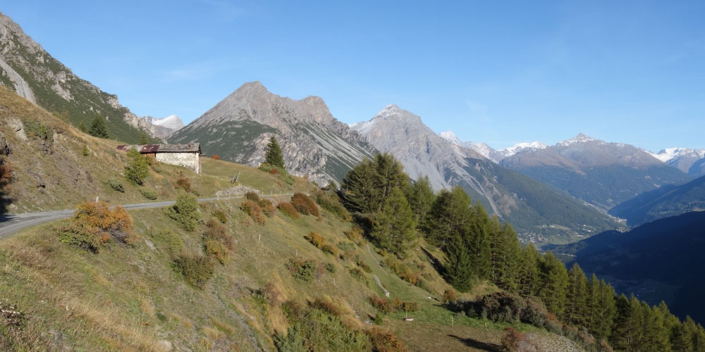
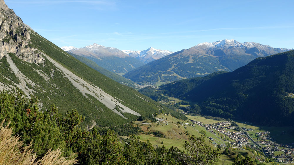
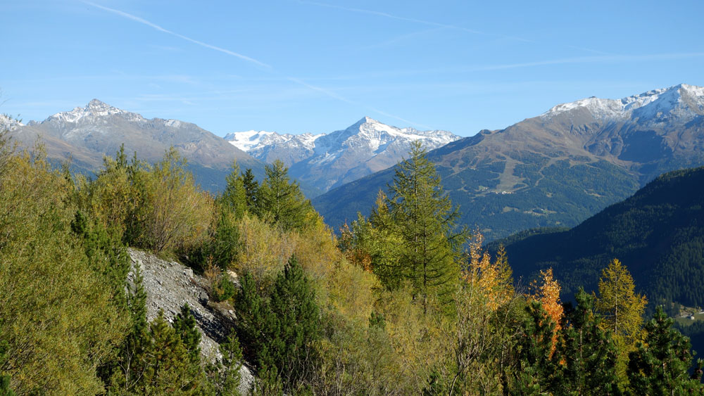
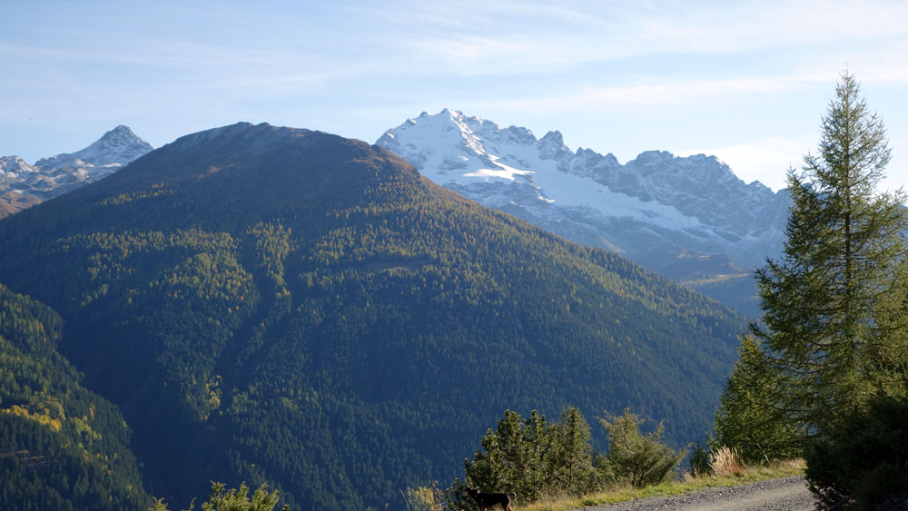
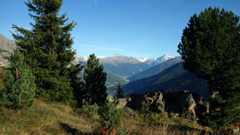
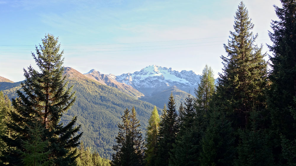
The Decauville, easy and totally flat, offers a breath-taking panorama on the “cima Piazzi”, Valdidentro and the entire Alta Valtellina. Big value have also the alpine pasture with their pasture masterfully cultivated.
The route, well adapt also for running, allow at the excursionist to decide autonomously the daily effort choosing by himself when turn and follow back the road you came until the starting and finish point.
Along this itinerary, looking the front-row mountain at your shoulders (cime di Plator), is often possible to see the royal eagle.
Note: If you want to reduce the initially tract on the asphalt road you have an alternative track, shorter but more difficult. From the car park you have to take the ancient imperial road that runs downhill between the two towers (difficult medium 6 out of 10). This short section is not accessible with pushchair. Once you reach the Cancano’s cliff basement you have to follow, in slowly uphill, the asphalt road. In about 200 meters you reach the fork for the route 195 of Decauville (on your left).
Enjoy your walk!
Stefano and all staf of Albergo Adele


COPYRIGHT AND LEGAL POLICIES – UPDATED Mar. 9th 2021
All contents of this blog (text, graphic elements, images, pictures, videos, etc.) are exclusive property of Stefano Bedognè and Albergo Adele s.a.s. and they are protected by Italian and International copyright laws. Therefore only viewing is allowed. Copying, either partial or total, will be allowed only after explicit request and authorization. In this case it must be indicated on the copy the source: www.albergoadele.it. Any other use (distribution or publication for profit, modification, processing in any way or form, etc.) will be considered unauthorized and will be prosecuted by law.
The information provided on this page, on our website and on the blog in general, are finalized to promote the touristic and cultural opportunities of Bormio and Valtellina but they are not substitutions in any way for professional accompaniment or the direct consultation of professional workers.
All of the excursions described on this website are for the purposes of promoting Bormio and Alta Valtellina. Every hiker has to consider independently their physical condition, personal experience and ability. The hiker has to check independently the trail complexity based on personal conditions, trail conditions and weather conditions, including the presence of ice, snow, landslides, avalanches or other events. Albergo Adele and Stefano Bedognè don’t assume any responsibility for any accident occuring to the trekkers during the trip here described. Albergo Adele and Stefano Bedognè always suggest being accompanied by a Mountain Guide.
