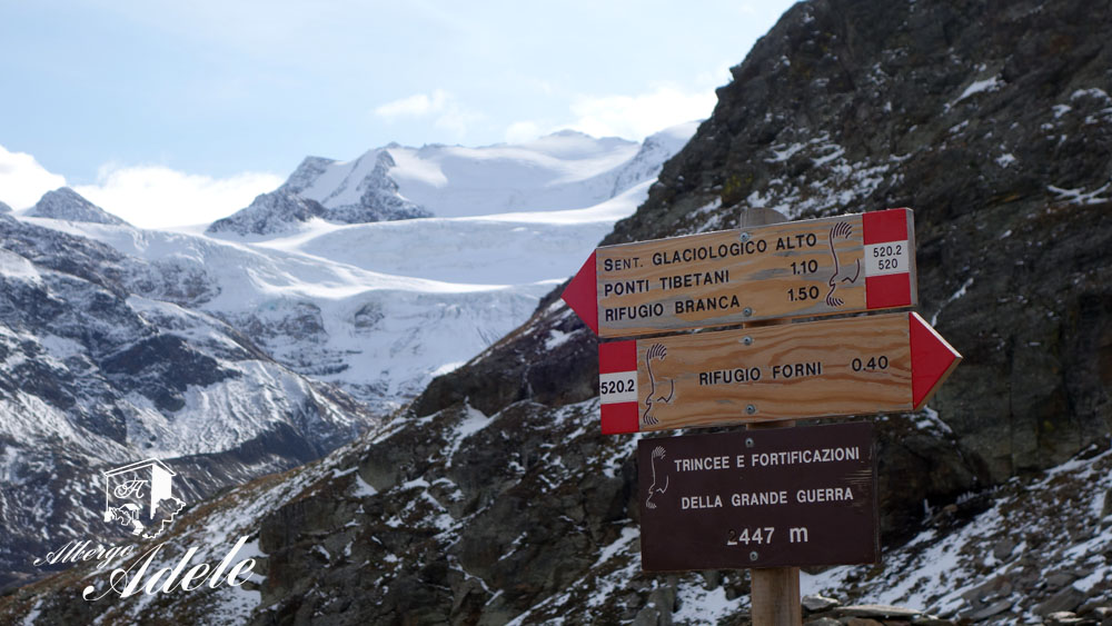
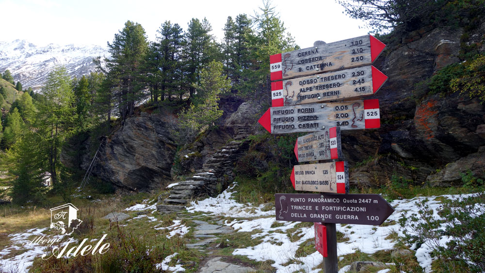
The higher glaciology trail, also called trail of the Tibetan bridges, is the ideal track for admiring the peaks and the glaciers of the higher Valfurva area from a wonderful point of view.
An excursion where high altitude, landscapes, glaciers and history melt together to realize an explosion of emotions: from the magnificent high mountain, to the sadness of the war and climate change.
Higher glaciology trail or trail of the Tibetan bridges
Sentiero Glaciologico Alto o sentiero dei ponti Tibetani
Valle dei Forni – Valfurva
Total length of excursion: 9880 meters
Total uphill difference in height: 623 meters
Approximate total time needed for the excursion: 4 hours and 30 minutes
Difficulty: medium (6 out of 10)
Recommended season: from the middle of June to the middle of October
Suitable for rainy days? no
General characteristics of the natural environment: Panoramic trail rich in glacier views and ruins of the white war
Presence of water\fountains on the excursion: yes
Trip on the borders of the Stelvio National Park: yes
Benches on the route: no
Picnic areas on the route: no
Alpine shelters, bars or restaurants along the route: yes (rifugio Branca and rifugio Forni)
Circular route: yes
Back and forth route: no
Pushchair accessible: no
Excursion starting point: Forni car park (Parcheggio dei Forni)
Geographic coordinates of the starting point: 46°25’10.28” N – 10°33’25.07” E —- UTM: 32T 619644 – 5141839
Altitude of the starting point: 2147 meters asl Maximum height reached on the excursion: 2527 meters asl
Description of the excursion
The higher glaciology trail, also called trail of the Tibetan bridges, is the ideal track for admiring the peaks and the glaciers of the higher Valfurva area from a wonderful point of view. Along the route here described we want to valorize the historical track that goes up to the military ruins of the first world war, situated in the foothills of Mount San Giacomo.
An excursion where high altitude, landscapes, glaciers and history melt together to realize an explosion of emotions: from the magnificent high mountain, to the sadness of the war and climate change.
From the Forni car park immediately cross the river Frodolfo following the indications to the Panoramic Point altitude 2447 (Punto Panoramico quota 2447). A few meters after the bridge you will find an intersection. The signs for the Glacier trail suggest you turn left in the direction of the wonderful stairway of Alpini (Italian mountain soldiers). Ignore the intersection and continue straight along the stone track in the direction of the Malga Forni and the panoramic point. About a hundred meters before the mountain cottage (Malga Forni) turn right on a trail that is not always evident. Go up the grassy ridge bypassing on the right the rock wall marked by a landslide. This part of the route is not always clear but is well signed by some poles and red and white markings on the stones.
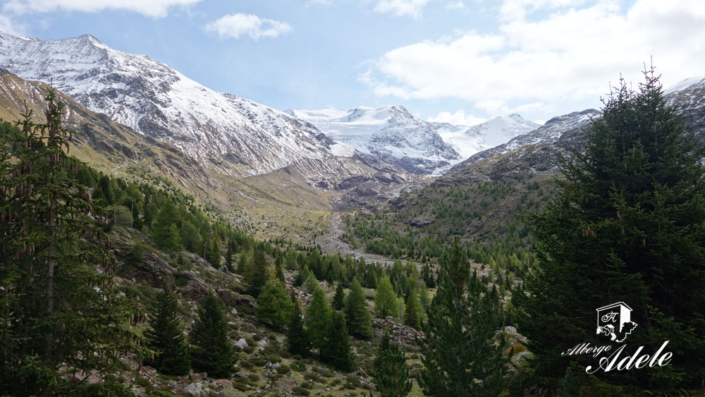
Once you reach the higher part of the grassy ridge, the trail becomes more evident. A short uphill climb with hairpin bends brings you to the trenches and military ruins of “Quota 2447”. In this uphill part it is possible to admire the Gran Zebrù, the Mount Pasquale and the Mount Cevedale.
Arriving at the impressive panoramic point the landscape opens the curtain on the majestic glacier, with the peak of Taviela and the peaks of Peio the main stars of the view.
The route continues downhill in the direction of these last peaks until it rejoins the higher glaciology track (sentiero glaciologico alto).
At the intersection turn right and go slightly uphill on a new hump. This part of the excursion is also marked by trenches, barbed wire and military ruins of the first world war. Reaching the top of this short hill you will see another wonderful landscape.
A short downhill, with an initially steep section, takes you to meet the track of the lower glaciology trail. At the intersection turn right and going slightly uphill follow route 520 in the direction of the Tibetan bridges and Rifugio Branca.
This new and short uphill part brings you to an area marked by very smooth rocks where the erosive action of the glaciers and waters is clear. The red rocks, very rich in iron, are shown to you like sculptures crafted by skillful artists. The harmony of the curves, the perfection of the smoothing, the exaltation of the iron veins and the shades of colors, are a true open air art gallery offered by nature.
After climbing uphill between these incredible rocks, a short downhill slope takes you to 2 characteristic Tibetan bridges where the landscape becomes wide again. The new incredible stars of the scene are the Forni glacier, the Cadini peak and Mount San Matteo.
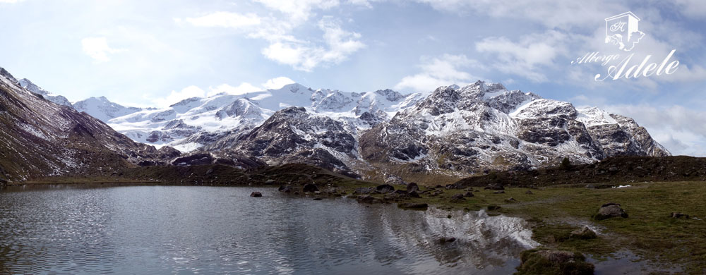
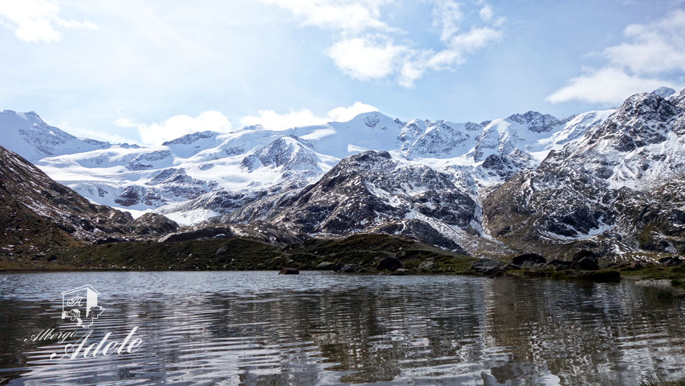
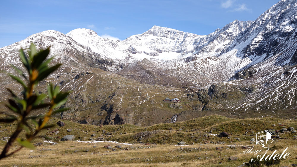
The excursion continues in the direction of Rifugio Branca between smoothed rocks and moraine debris (pay attention to the track in this area). After a short downhill walk where the track is not always well signed, the route becomes clear again and in a few minutes brings you to the little lake of Ròsole and then to the Alpine shelter.
Leaving the shelter, immediately take trail 530 in direction of Rifugio Pizzini.
A short uphill climb accompanies you to a striking plateau with an incredible landscape of the crown peaks that stand above the Forni glacier. At the end of the flat section begin the descent that, along route 530.2, will take you to the “Malga Forni” in a few minutes walk. From the shepherd’s cottage continue downhill along the stone road that, in the direction of the Rifugio Forni, brings you back to the starting point of the excursion.
At the end of the excursion, we suggest you visit the interesting museum of the White War located in the rooms of Rifugio Forni.
Enjoy your walk to The higher glaciology trail, trail of the Tibetan bridges!
Stefano and all of the Albergo Adele staff
Text translated by Stefano Bedognè and Paul Faller (teacher at MyEnglish Lodi)
COPYRIGHT AND LEGAL POLICIES – UPDATED Mar. 9th 2021
All contents of this blog (text, graphic elements, images, pictures, videos, etc.) are exclusive property of Stefano Bedognè and Albergo Adele s.a.s. and they are protected by Italian and International copyright laws. Therefore only viewing is allowed. Copying, either partial or total, will be allowed only after explicit request and authorization. In this case it must be indicated on the copy the source: www.albergoadele.it. Any other use (distribution or publication for profit, modification, processing in any way or form, etc.) will be considered unauthorized and will be prosecuted by law.
The information provided on this page, on our website and on the blog in general, are finalized to promote the touristic and cultural opportunities of Bormio and Valtellina but they are not substitutions in any way for professional accompaniment or the direct consultation of professional workers.
All of the excursions described on this website are for the purposes of promoting Bormio and Alta Valtellina. Every hiker has to consider independently their physical condition, personal experience and ability. The hiker has to check independently the trail complexity based on personal conditions, trail conditions and weather conditions, including the presence of ice, snow, landslides, avalanches or other events. Albergo Adele and Stefano Bedognè don’t assume any responsibility for any accident occuring to the trekkers during the trip here described. Albergo Adele and Stefano Bedognè always suggest being accompanied by a Mountain Guide.


